
Overview
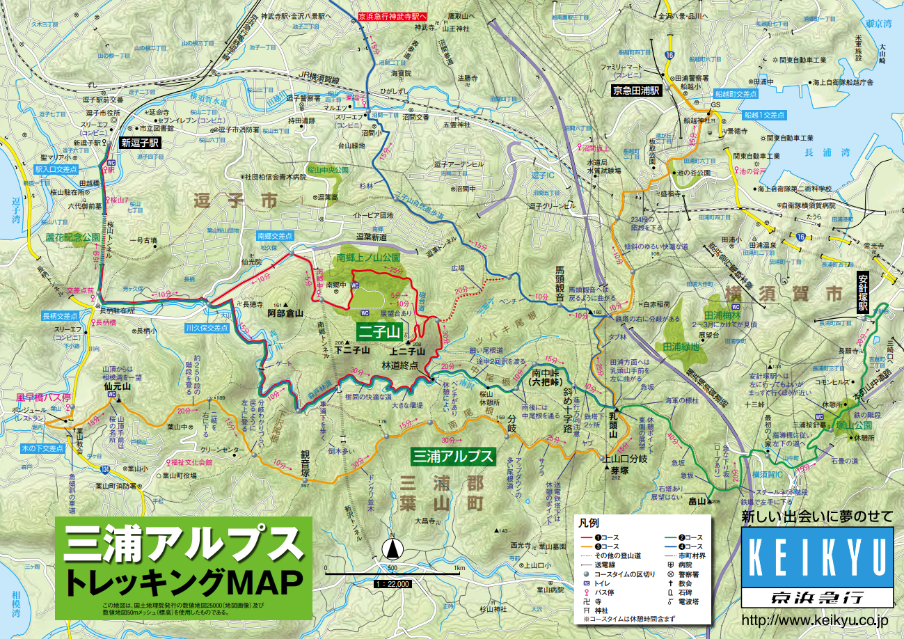
We enjoyed a trek starting from the trailhead of Mount Abekura (阿部倉山), located just a 3-minute walk from our property.
Many people come to this area by train to go trekking.
The trek takes about one hour.
It was an efficient workout in a short time, and the views were lovely too. Along the way, we passed about five other hikers. The lack of crowds is part of the appeal.
On the other hand, because there are few hikers, some sections of the trail are hard to follow, which is a drawback.
Route Log
On the way out, we went via Mount Abekura. On the way back, we chose a route that is not well maintained. There are only faint traces of people having passed through, and it is quite overgrown. When descending, you can look down the slope, so the route is relatively easy to find, but if you are climbing up this way, you could easily lose your way.
Photos
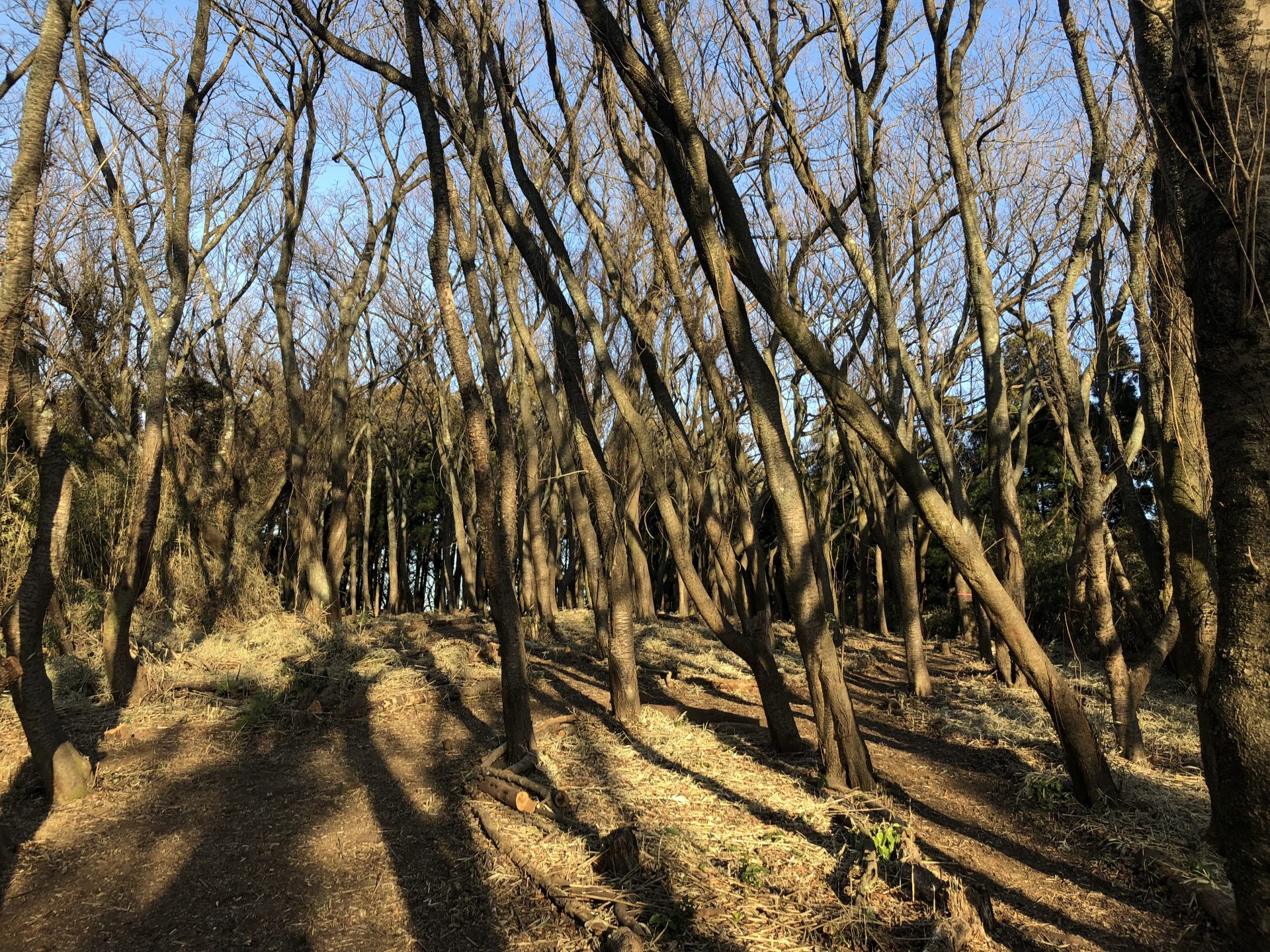
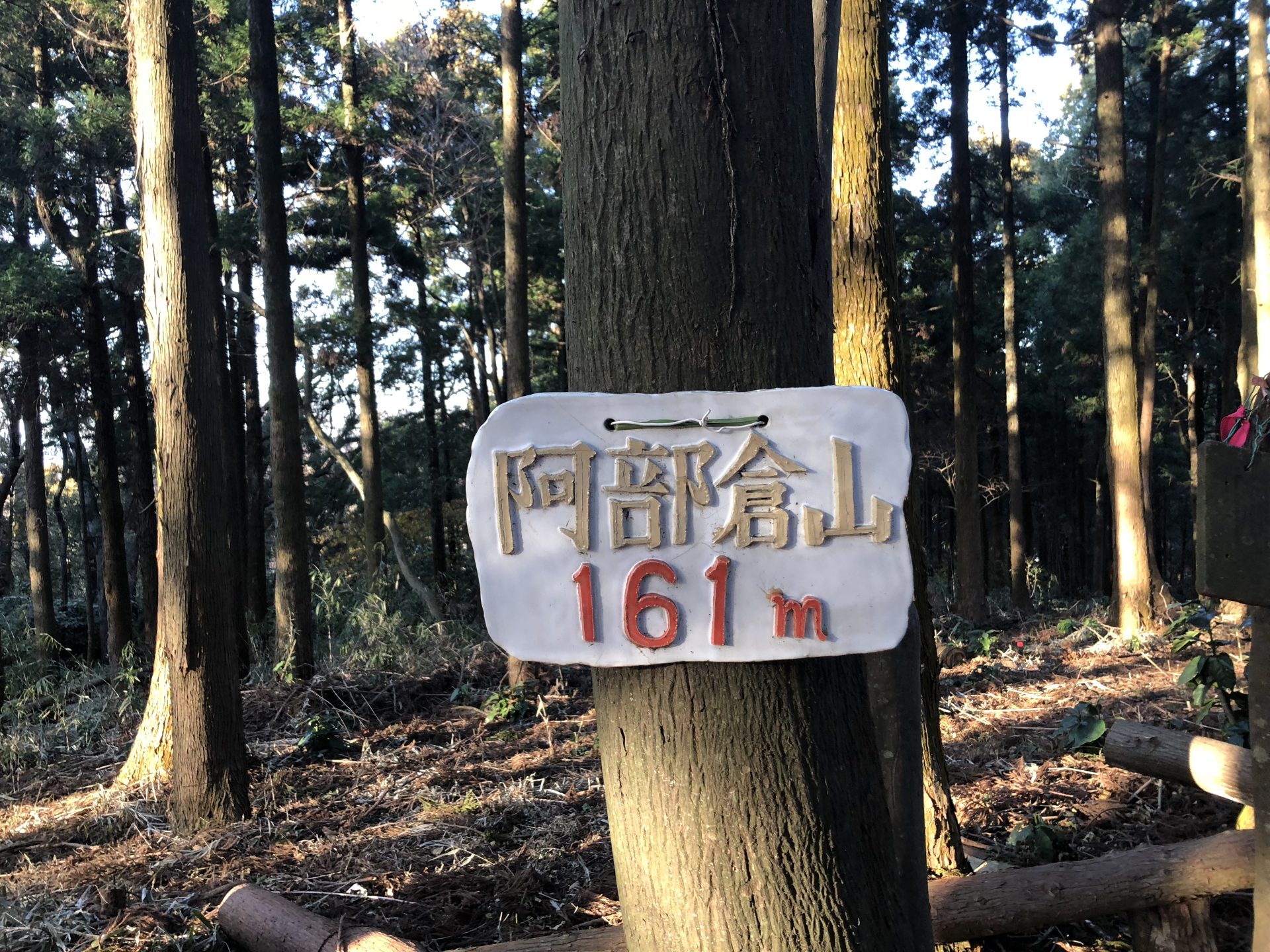
When we visited Mount Abekura about a year ago, there was nothing at the summit, but this time the trees had been cut down and the area had been opened up. It was clear that it had been carefully maintained, with a wide, plaza-like space now in place.
We assume this was done to accommodate the growing number of hikers.
The newly installed summit sign.
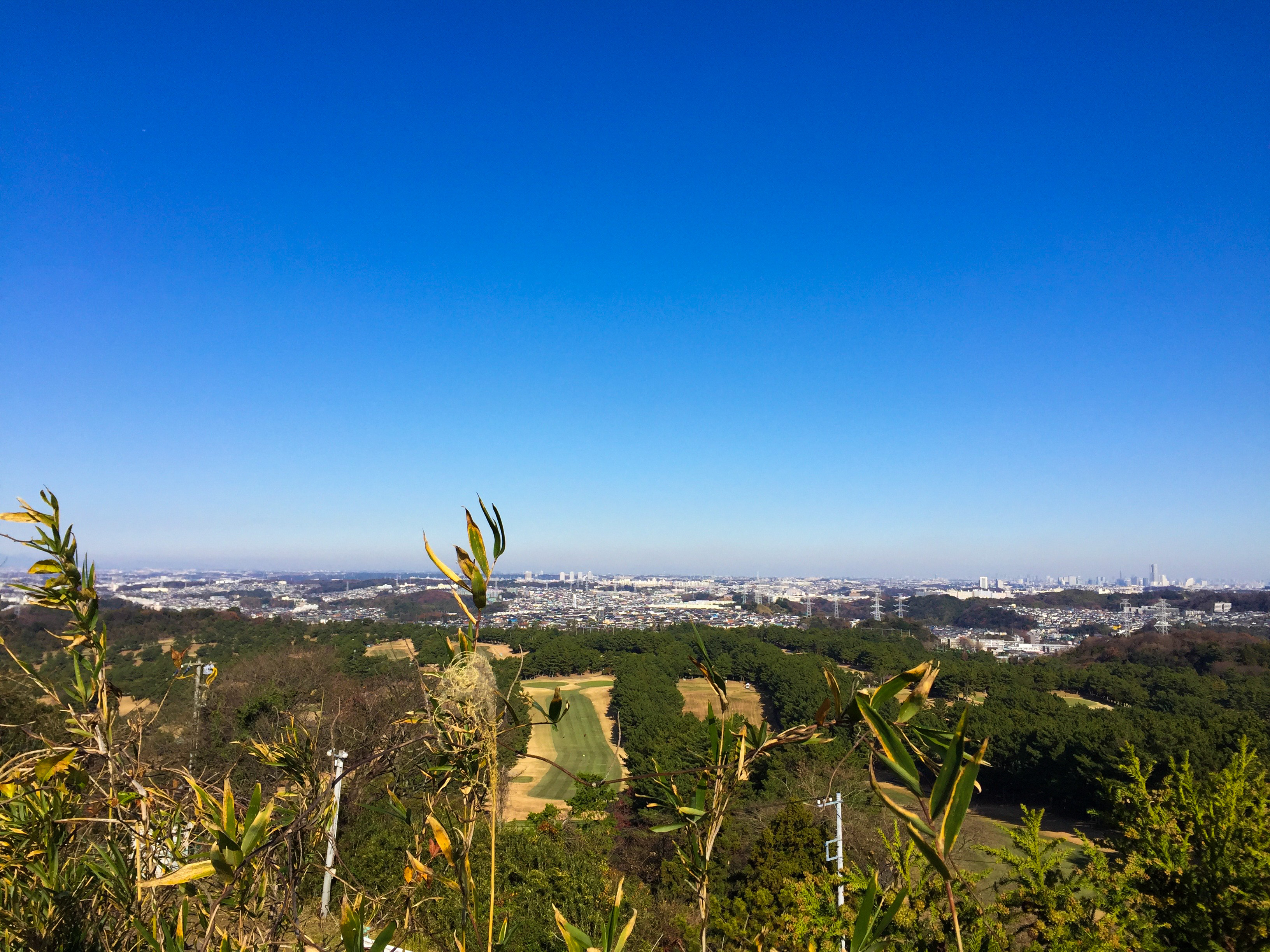
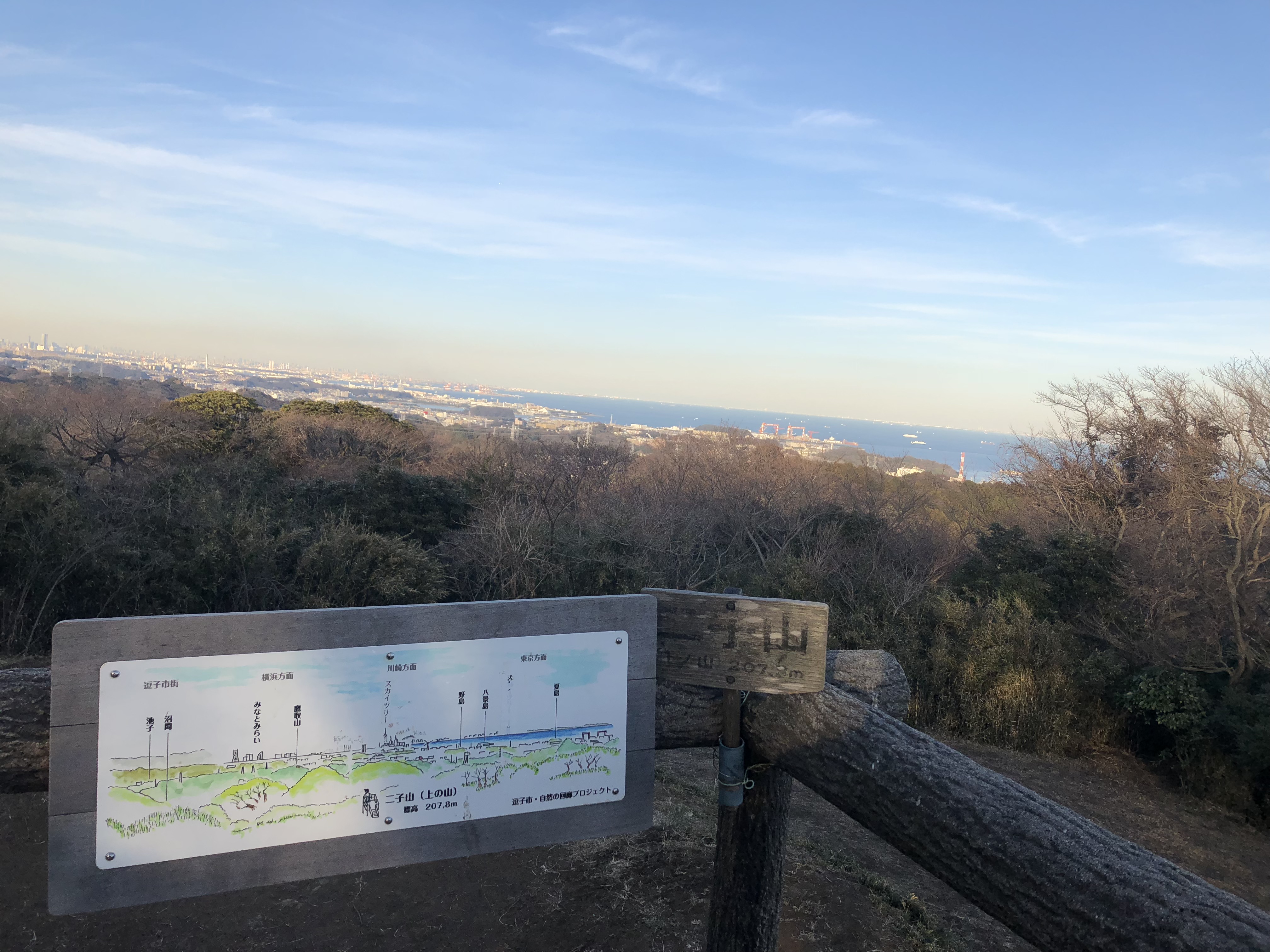
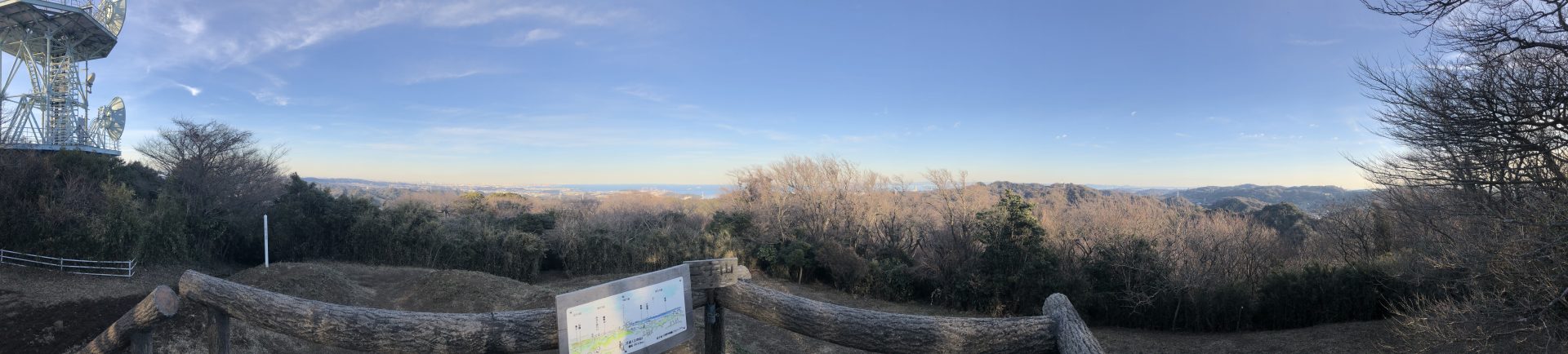
The view from Mount Futago (双子山). You can see all the way across toward Yokosuka.
Due to time constraints, we turned back here.
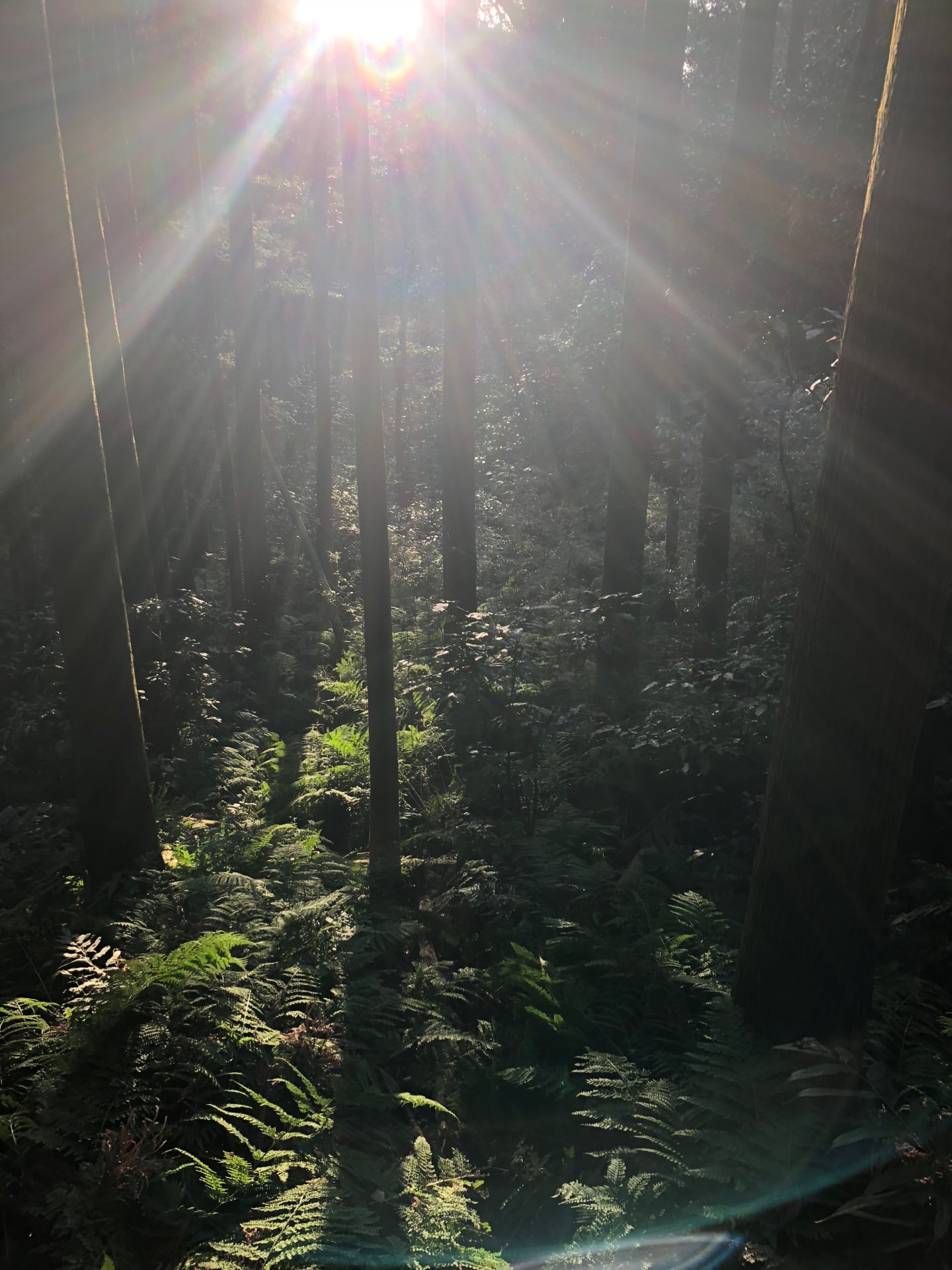
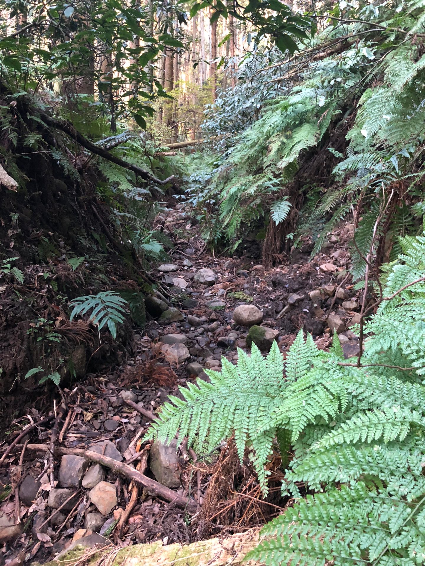
On the way down, we took a fork we found along the way to try a different route. It was thick with brush and the path was hard to make out. It was only just distinguishable because it was winter, when there is less vegetation.
Partway down, the route follows a stream bed.
Summary
Although the elevation is low, the course includes some steep slopes, making for a satisfying hike. The ridge trail also has a good amount of ups and downs. Rather than a casual picnic, it is best described as a trekking course for beginner to intermediate hikers.